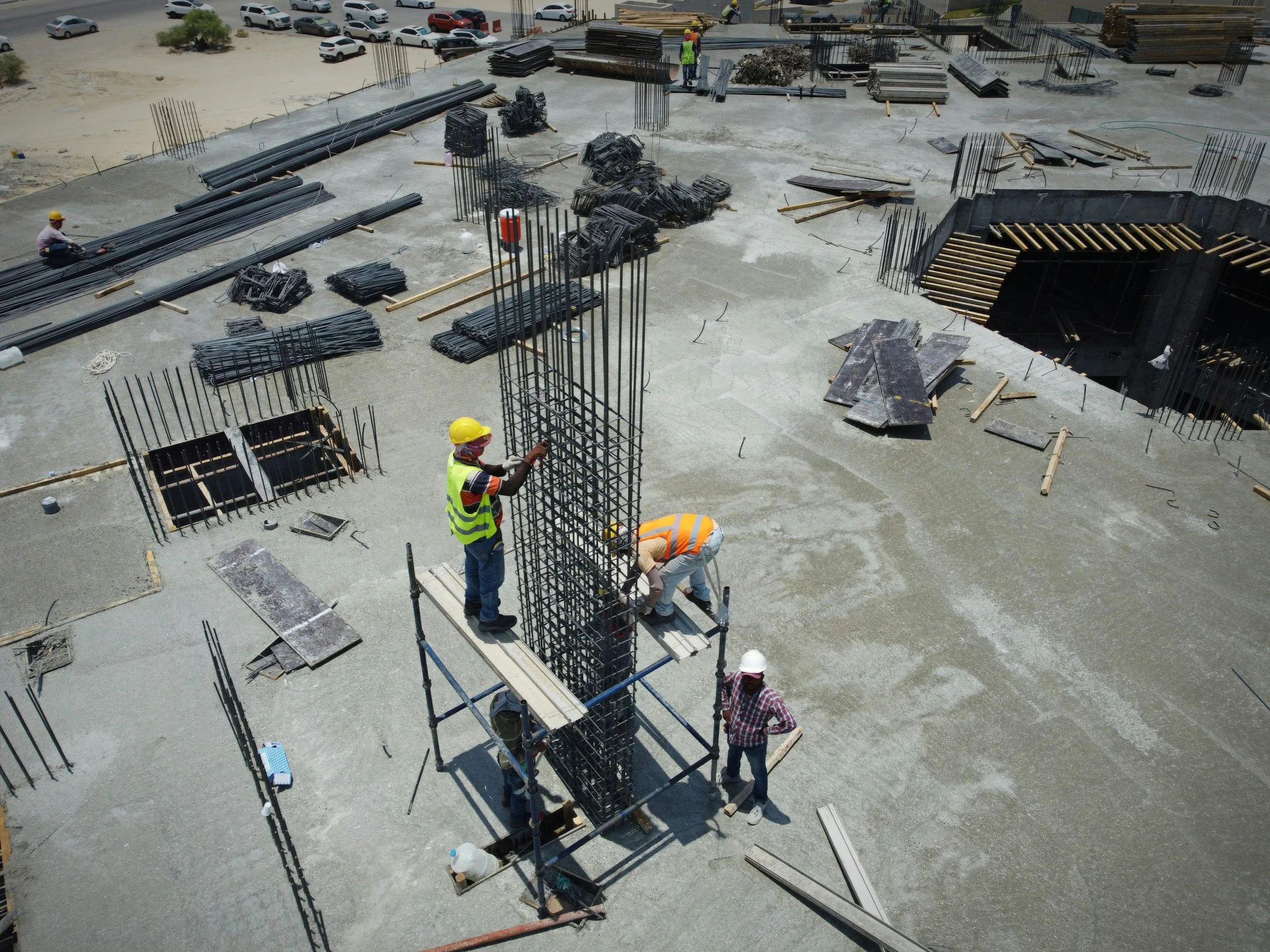
Construction Progress, Mapping & 3D Models
Repeatable aerial data helps owners, contractors, and project teams document milestones, understand changing conditions, and communicate progress clearly.
What We Can Provide
• Scheduled construction-progress photography and video
• Repeatable viewpoints for side-by-side comparisons
• Orthomosaic maps and measured site imagery
• Photogrammetry and 3D site models
• Stockpile and material volume analysis
• Visual documentation for reports and stakeholder updates
Who It’s For
General contractors, developers, owners, engineers, survey and design teams, facility managers, and material operators who need consistent visual records or decision-ready site data.
Mapping accuracy and deliverables are matched to the project’s purpose. Drone products do not replace a licensed boundary or legal survey when one is required.
Planning a project or recurring progress flights? Visit the Contact page, email info@loweryskysystems.com, or text 317-886-8391 for a quote.