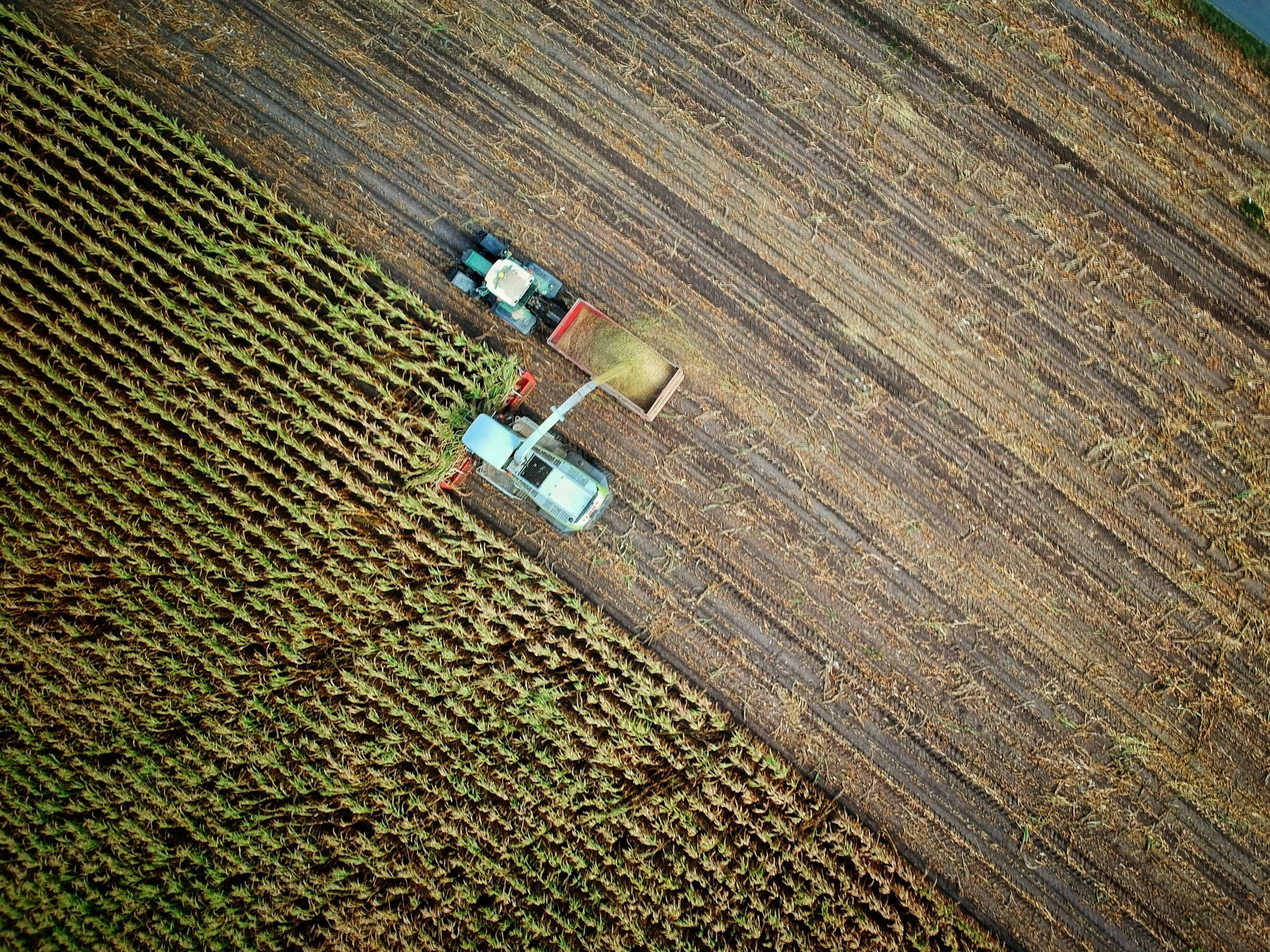
Aerial Asset Location & Recovery Support
Aerial imaging, zoom, thermal, and mapping tools can help authorized owners and stakeholders locate, document, and monitor high-value assets across large or difficult-to-access areas.
What We Can Provide
• Wide-area visible-light search flights
• Zoom imagery for distant visual identification
• Thermal scanning when conditions are suitable
• Mapped areas of interest and visual documentation
• Monitoring of vehicles, equipment, livestock, or other assets
• Coordination with the authorized owner or responsible agency
Who It’s For
Property owners, equipment operators, agricultural clients, insurers, businesses, and authorized representatives who need aerial search intelligence or documentation.
Lowery Sky Systems provides search intelligence and visual documentation only. We do not act as law enforcement, private security, repossession, surveillance-for-hire, or a physical recovery force. Work requires clear authorization and lawful access.
Need authorized aerial search support? Visit the Contact page, email info@loweryskysystems.com, or text 317-886-8391 with the location, asset description, and timing.